Skip to main content (Press Enter)
  • Accessibility
  • Contact Us
  • Maps & Directions
Official logo of Olmsted County, Minnesota government, featuring stylized text and emblematic design representing the county's identity.

Engage with Olmsted County

  • Residents
    • Services for Individuals & Families
    • Elections and voting
    • Garbage & recycling
    • Land & Property
    • Licensing, Permits, & Records
    • Parks and Trails
    • Public Safety & Law Enforcement
    • Roads & Transportation
    • Soil & Water Resources
    • Image consent form
  • Business
    • Become a County Vendor
    • Building and Planning
    • Business Licensing & Permits
    • Commercial Garbage & Recycling
    • Surveying
  • Government
    • About Olmsted County
    • Jobs & Internships
    • Boards & Commissions
    • County Departments
    • Ordinances & Codes
    • Volunteer Opportunities
    • County News & Events
  • I Want To
    • Apply
    • Pay
    • Obtain
    • Report
    • Subscribe
    • Visit
  • Maps & Directions
  • Contact Us
  • Accessibility & Translation

Public review of Olmsted County General Land Use Plan Update StoryMaps
  • News
  • Jan 4, 2022
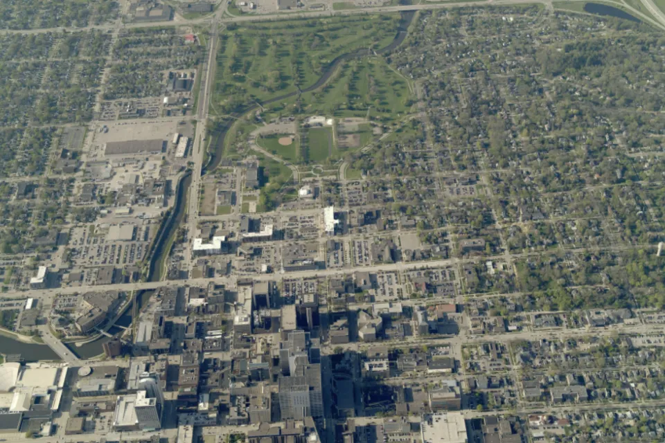
Aerial view of land in Rochester

The Olmsted County Planning department is updating the Olmsted County General Land Use Plan (GLUP), the policy framework for county land use management. The GLUP is a long-range document, updated every five years to reflect changes in population, employment, land use projections, assumptions, and policy. This latest update of the GLUP looks out until at least 2045.

To help Olmsted County residents learn more about updates to the GLUP, a collection of StoryMaps is now available for public review on the county’s GLUP webpage. These user-friendly summaries introduce Olmsted County’s land use planning efforts and policies, the factors that influence them, as well as plan updates and implementation strategies.

Included in Olmsted County’s GLUPdate 2045 StoryMap collection are the following topics:

  • Land use planning 101
  • Geography and units of government
  • Olmsted County soils
  • Geology
  • Water
  • Environmental corridors
  • Demographics
  • The economy
  • Cultural resources
  • Values, principles, and policies
  • Environmental justice
  • Land cover and land use

Links are provided on the GLUP webpage to allow residents to ask questions and share commentary about the GLUP. On this page, residents can also subscribe to receive notifications about future public meetings and hearings related to this topic. 

“The Olmsted County General Land Use Plan is the primary set of land use policies that define our vision of how, when, and where growth, redevelopment, and preservation should occur throughout the county,” said Olmsted County Planning Director Ben Griffith. “Successful implementation of this plan results in the wise use of land and resources available to the community. We invite the public to learn more about this process by reviewing these materials and sharing input.”

For more information, contact Olmsted County Principal Planner Sandi Goslee at 507-328-7168 or goslee.sandi@co.olmsted.mn.us.
 

This item appears in

  • County News

Share this page

Recent News

June 02, 2025
Sign up for Olmsted County news sent to your email!
June 02, 2025
Olmsted County Parks and Trails - New department name
May 29, 2025
Olmsted County hosts annual rabies vaccination clinic
All news
  • Residents
  • Business
  • Government
  • I Want To
    • Apply
    • Pay
    • Obtain
    • Report
    • Subscribe
    • Visit
  • Facebook
  • Instagram
  • LinkedIN
  • YouTube
  • nextdoor
  • Maps & Directions
  • Contact Us
  • Accessibility & Translation
  • Salary Compliance
  • Privacy Policy and Disclaimer
  • Comprehensive Civil Rights Plan
  • HIPAA Notice of Privacy Practices
  • Greater Minnesota Transportation Sales and Use Tax
  • Local Option Sales and Use Tax
  • Posting on website policy

Copyright © 2025 Olmsted County, Minnesota